Ólavsøka in Tórshavn
 I arrived in Tórshavn in the dark of night, which was unusual for this time of year when the days are so long. I expected the town to be dead at this time, which it was around the ferry, but as I wandered into town I ran into the revellers of Ólavsøka.
Read More

 Duration: 17 days
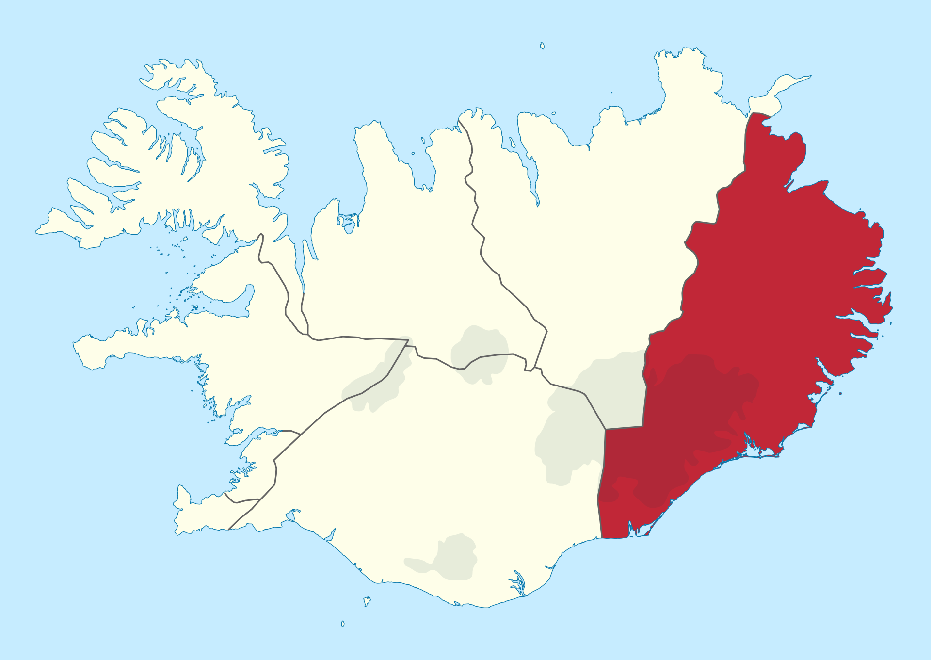
 Austurland, I like the sound of that of that place. Maybe Vesturland is the same, but the east fjords are really the first time in Iceland that I’ve felt like I was in fjordland. Enormous scale cliffs rise up out of the sea and stretch for tens of kilometres out towards the open sea. The land is green and the mountains trap the clouds, forbidding them to escape. The land is calm and quiet. There are few birds even and it’s easy to find a place where you feel complete solitude.


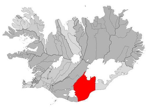
 Visiting that ‘K’ town to see the canyon starting with ‘F’ because I can’t pronounce either of those names. Actually, after a little practice I can now and it’s hilarious! Tiny little places in the Icelandic scheme of things, but Fjaðrárgljúfur canyon was another one that got away from the last trip to Iceland and Kirkjubæjarklaustur was the nearest and most convenient town to stay in.
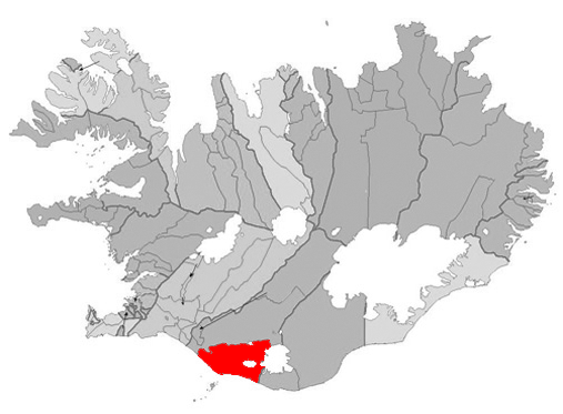
 I’m not entirely sure why the black sand beaches around Vik are so famous. So much of Iceland is covered in black sand and so many places in the world have cliff stacks carved by wind and sea. In any case I was in Vik and I wanted to see my rock.
 13-15km

